A Field Guide for Pennsylvania Facilities on Locating Outfalls, Tracing Drainage Areas, and Showing Them Correctly on Your PAG-03 Site Map and PPC Plan
Every industrial stormwater permit in Pennsylvania is built around outfalls, the specific spots where stormwater leaves your property. PAG-03, which is Pennsylvania DEP's general permit for stormwater from industrial sites, only covers the outfalls you list on your Notice of Intent (NOI), the application form you send DEP. Your sampling happens at outfalls, your inspections check them, and your Preparedness, Prevention and Contingency (PPC) Plan, Pennsylvania's version of a stormwater pollution prevention plan, has to show them on a map. So how do you find them? You start with whatever drawings you have, walk the property line and then work inward, follow every inlet and ditch to where it ends, and go back out when it rains. Then you trace each outfall back to the area that drains to it and put all of it on a map that matches your NOI and PPC Plan.
Below, we'll cover what DEP counts as an outfall (it's more than pipes), what happens when a facility misses one, how to walk a site to find them, how to figure out which drainage area flows to each one, and how DEP expects them to appear on your site plan, topographic map, and PPC Plan. We'll also explain when you can sample one representative outfall instead of every outfall, and when your map needs updating. If you'd rather have someone walk your site with you, feel free to reach out to RMA and we'll talk through what your facility needs.
Table of Contents
TL;DR
Outfalls are the places where stormwater leaves your property, and in Pennsylvania that includes pipes, ditches, swales, storm sewer connections, and low spots where runoff gathers and runs off the site. You find them by checking old drawings, walking the property line, following every drain to where it ends, and going back out during a rain. Each outfall gets its own drainage area, measured and described, and everything goes on your PAG-03 site plan, topographic map, and PPC Plan map with matching numbers. Outfalls with substantially identical drainage areas can share one representative outfall for sampling, but you still inspect every one of them.
What Counts as a Stormwater Outfall Under Pennsylvania's PAG-03 Permit?
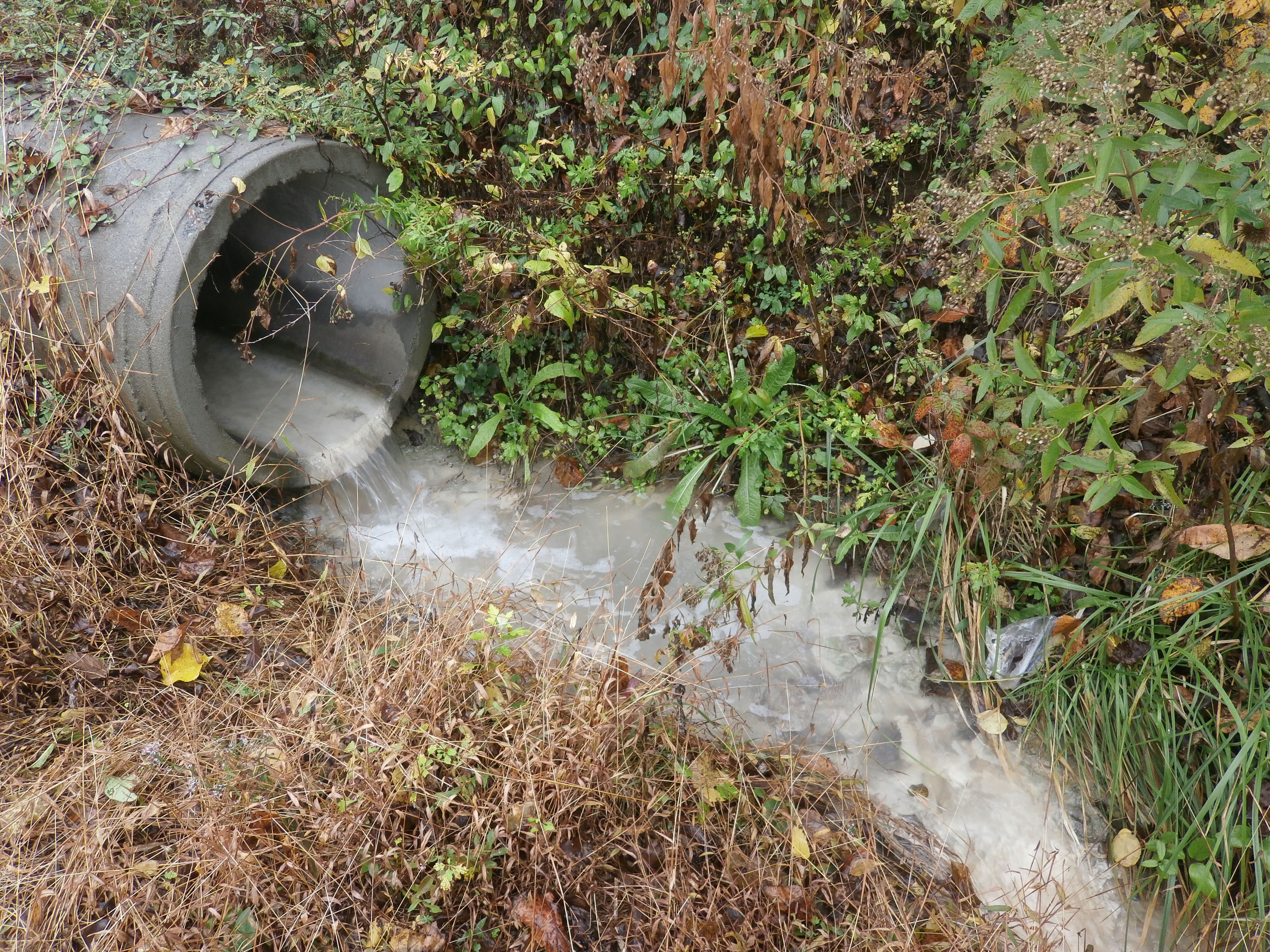
The PAG-03 permit uses the federal definition of a point source, which it treats as the same thing as an outfall: a discernible, confined, and discrete conveyance, like a pipe, ditch, channel, or conduit, that pollutants are or may be discharged from. That definition covers the obvious stuff. A concrete pipe sticking out of a bank above a creek is an outfall. So is the end of a culvert under your driveway.
DEP's NOI instructions go further, and this is where facilities get tripped up. They say outfalls should include all engineered structures, drainageways, and areas of concentrated flow where runoff leaves a site. In plain terms, if water gathers and leaves your property at a particular spot, that spot is probably an outfall, even if nobody ever built anything there. A worn gully under a fence line counts. So does the low corner of a gravel yard where everything runs off into a neighbor's field.
| Type of Outfall |
What It Usually Looks Like |
How Often It Gets Missed |
| Storm pipe or culvert |
A pipe end at a stream bank, ditch, or property line |
Rarely, unless it's buried in brush or silted over |
| Ditch or swale |
A grass or stone channel along a road, fence, or rail spur |
Often, because it reads as landscaping |
| Curb cut or paved channel |
A gap in a curb or a driveway apron that sheds water off-site |
Often |
| Storm sewer connection |
An inlet or pipe that ties into a municipal or private storm sewer |
Often, when people assume the town's system covers them |
| Concentrated sheet flow |
An eroded spot, sediment fan, or flattened vegetation where runoff leaves a lot edge |
Most often of all |
| Basin or pond outlet |
A riser, spillway, or valve on a stormwater basin |
Sometimes, when the basin rarely overflows |
The storm sewer row deserves a closer look. DEP's NOI instructions are clear that sending industrial stormwater into a storm sewer before it reaches a stream doesn't get you out of permit coverage, even if the municipality has its own stormwater permit for that system. The point where your water enters the storm sewer is something you map and report. On the other hand, the same instructions say stormwater going to a separate or combined sanitary sewer doesn't need its own coverage. Some older Pennsylvania cities have combined sewers that carry stormwater and sewage to a treatment plant, and there the sewer authority's rules may apply instead. Which situation you're in depends on where your specific pipes go, so confirm it with your municipality or sewer authority rather than assuming.
True sheet flow, where water spreads evenly across a long edge with no obvious low spot, is the hardest call. In practice, most sheet flow does gather somewhere, and that spot becomes the outfall. When it doesn't, it's worth documenting how you made the call. And keep in mind that outfalls are about stormwater. Wash water and other process water is a separate issue that PAG-03 generally doesn't authorize.
What Happens If a Pennsylvania Facility Misses a Stormwater Outfall?
PAG-03 authorizes discharges through the outfalls identified in your NOI. An outfall that isn't on the NOI isn't part of what DEP approved, so stormwater leaving through it is, at best, an unreported discharge. The permit also requires you to promptly correct any relevant facts you left out of an NOI once you become aware of them.
The fix for an outfall you discover on your own is straightforward. DEP's industrial stormwater FAQ says a permittee that finds an unreported outfall should confirm the discharge is eligible for PAG-03 and then submit an amended NOI with a $500 filing fee. That's a lot less painful than having a DEP inspector find it first. Inspectors walk property lines, and an unmapped pipe at the back of a site raises questions about everything else in your plan. If you want a sense of how that visit goes, we cover it in what happens during a PA DEP stormwater inspection.
A missed outfall also skews your sampling. If the dirtiest part of your yard drains to an outfall nobody knew about, your sample results describe the clean part of the site and not the part DEP cares about. The reverse happens too. A facility samples the wrong pipe, gets high results, and ends up writing a corrective action plan for a problem that isn't really where they think it is. Under PAG-03, two consecutive benchmark exceedances at the same outfall trigger a corrective action plan due within 90 days of the end of that monitoring period, so getting the outfall right up front saves a lot of work later.
How Do You Walk a Facility to Find Its Stormwater Outfalls?
Finding outfalls is mostly legwork. There's no shortcut that replaces walking the site, but a little prep makes the walk faster and keeps you from missing the spots that matter.
Start With Drawings and Aerial Maps
Pull every drawing you can find: original site plans, civil and grading plans, storm sewer as-builts, any past NOI or PPC Plan, and drawings from the last expansion or repaving job. Then look at aerial imagery and a topographic map. DEP's eMAP tool shows topography, streams, and other water features, and DEP's NOI instructions mention it as one option for the topographic map you'll eventually submit. Mark where you expect water to leave the property. Treat those marks as guesses, because drawings are often out of date and pipes get added without anyone updating the plans.
Walk the Property Line, Then Work Inward
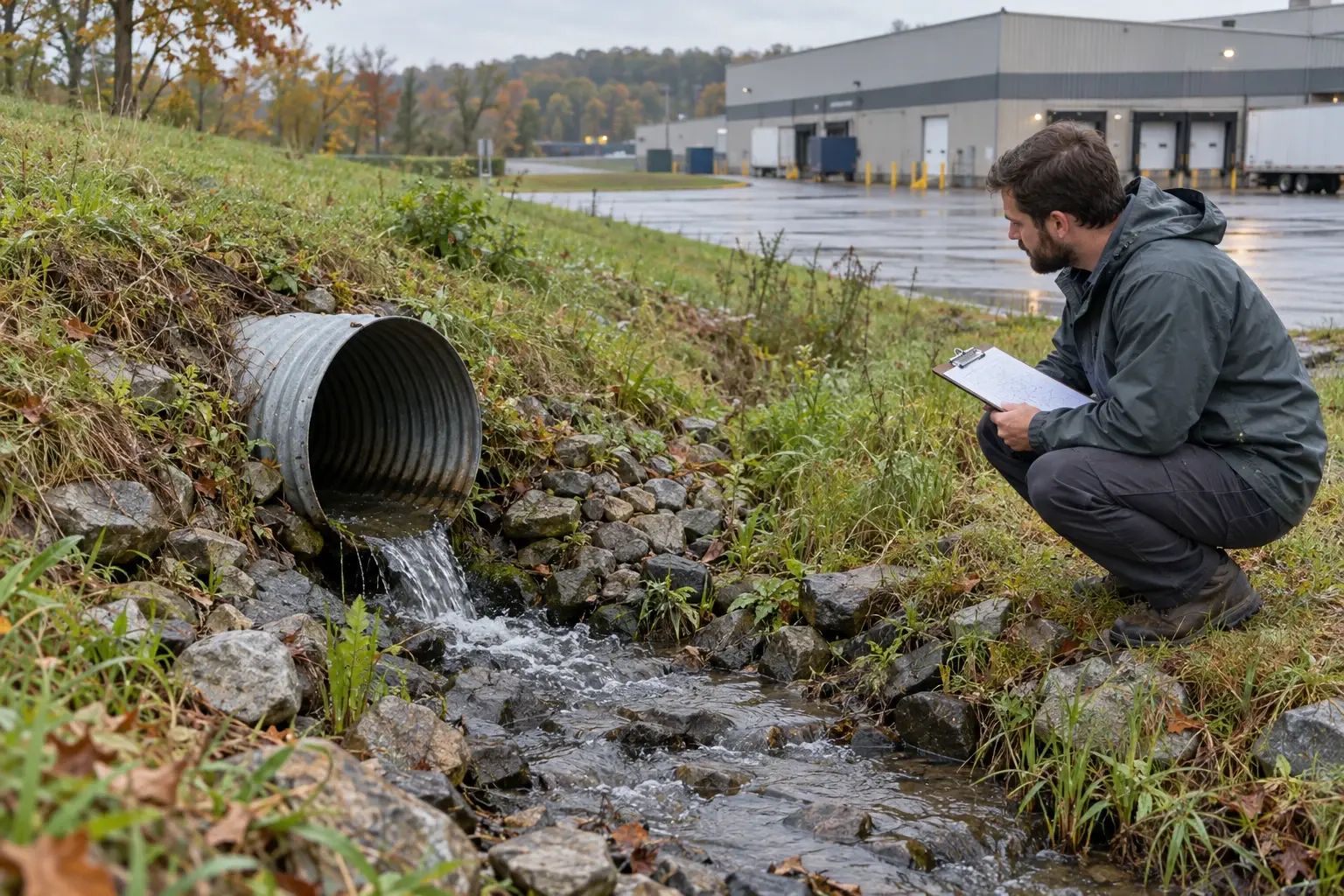
Walk the full perimeter first. Look for pipe ends, ditches, gaps in curbs or berms, eroded channels, sediment fans spreading onto a neighbor's lot, staining on pavement or rocks, trash and debris caught along a fence, and patches of dead or flattened vegetation. Each of those is a clue that water leaves there. Then work inward. Lift inlet grates, note which way the pipes run, and follow trench drains, roof downspouts, and swales to where they end. Some facilities run a hose into an inlet during dry weather and watch to see where the water comes out. Don't climb into manholes or vaults to trace pipes, since those are confined spaces with real safety risks.
Go Back Out When It Rains
A dry walk tells you where water should go. A walk during a steady rain tells you where it does go. That's when you see sheet flow gathering at a low spot, a clogged inlet sending water across the yard, or runoff from a neighbor's property flowing onto yours. Run-on matters too, because PAG-03 asks you to divert clean run-on away from industrial areas, and off-site water can skew your sample results. Take photos and note the date, the rainfall, and what you saw at each spot.
How Do You Figure Out Which Drainage Area Flows to Each Stormwater Outfall?
A drainage area is all of the ground, pavement, and roof that sends water to one outfall. Once you know where your outfalls are, you work backward from each one to find its boundaries. Look for the high points and dividing lines on the site: building rooflines, crowned driveways, berms, curbs, and grade breaks. Roofs deserve their own check, because one half of a building may drain to the front lot and the other half to the back ditch. Underground pipes can also cross surface dividing lines, so an inlet in the middle of the yard might connect to an outfall on the far side of the property.
The NOI asks for specific information about each outfall's drainage area, and it helps to know what you're collecting before you start measuring.
| NOI Outfall Detail |
Where It Usually Comes From |
| Outfall number (001, 002, 003 and so on) |
Your site walk and map |
| Latitude and longitude at the end of the pipe or channel |
A GPS reading in the field or a mapping tool |
| Receiving water and its Chapter 93 classification |
eMAP, 25 Pa. Code Chapter 93, and DEP's existing use listings |
| Whether the receiving water is impaired or has a TMDL |
DEP's Integrated Water Quality Report and TMDL listings |
| Drainage area in square feet and percent impervious |
Measured from aerials, a site survey, or CAD drawings |
| Materials and activities exposed to rain in the drainage area |
Your site walk and the PPC Plan |
| BMPs in the drainage area |
Your site walk and the PPC Plan |
The receiving water piece can change your whole permit path. PAG-03 doesn't cover direct discharges to waters classified as High Quality or Exceptional Value under Chapter 93, and those facilities can't use a No Exposure Certification either. They need an individual NPDES permit. It's a good reason to check every outfall's receiving water early, not after the NOI is drafted.
The activity descriptions matter for another reason. DEP's NOI instructions have you identify the PAG-03 appendix that applies to each outfall based on the industrial activities in its drainage area. A site with a fueling area draining one way and a raw material yard draining another may end up with different monitoring at different outfalls. If you're unsure which activities count, our article on stormwater associated with industrial activity walks through it.
How Should Outfalls Appear on Your PAG-03 Site Plan, Topo Map, and PPC Plan Map?
DEP asks for outfalls to show up in three places, and each one has its own list of what it needs to include. The sample map above is a simplified example of how the pieces fit together on a single sheet: drainage area boundaries, flow arrows, numbered outfalls, exposed activity areas, and the receiving stream.
| Map |
What DEP Wants Shown |
| NOI site plan |
Structures, facilities, outdoor raw material, product, and waste storage areas, drainage areas, outfalls associated with industrial activity, property boundaries, and nearby waters. For storm sewer discharges, both the point where your water enters the storm sewer and the point where that sewer empties into surface water. |
| NOI topographic map |
Your facility and its outfalls shown against the surrounding terrain and streams. |
| PPC Plan site map |
Structures, impervious surfaces, control measures, receiving waters, stormwater conveyances, monitoring points, and non-stormwater discharge locations. |
The easiest way to keep these consistent is to build one base map and use it for all three, adding layers as needed. Number outfalls 001, 002, 003 and so on, which is the format the NOI uses, and keep the numbers the same everywhere. Draw drainage area boundaries as clear lines or shading, add arrows showing which way water flows, and label exposed activity areas like fueling, loading docks, and outdoor storage. A legend, north arrow, approximate scale, and revision date make the map usable by someone who has never been to your site, which is exactly who'll be reading it at DEP.
DEP reviews the NOI, maps, and PPC Plan together, so they have to agree with each other. If your NOI lists four outfalls and your PPC Plan map shows three, or the drainage area for Outfall 002 is described as paved on one document and gravel on another, expect questions. The PPC Plan side of this has its own requirements beyond the map, which we compare to federal plans in SWPPPs vs. PPC Plans for PAG-03.
Can You Sample One Representative Outfall Instead of Every Outfall Under PAG-03?
Yes, under the right conditions. PAG-03 defines a representative outfall as one selected by the permittee or DEP to represent stormwater quality for monitoring because its drainage area is substantially identical to the drainage areas of other outfalls on the site. DEP's NOI instructions let you group outfalls by the industrial activities in their drainage areas, and if the drainage areas and stormwater quality are substantially identical, you pick one to sample for the group. DEP's own example is three outfalls that all drain areas where the same raw materials are unloaded. You'd sample Outfall 001 and list it as the representative for 002 and 003.
Sampling then happens at the representative outfalls identified in your NOI, and the permit calls for a separate Discharge Monitoring Report for each one. Outfalls you identify on the NOI as No Exposure outfalls, where all industrial materials and activities in the drainage area are sheltered from rain and snow, don't need monitoring unless that condition changes. Our article on what no exposure means covers that test in more detail.
| Outfall Status |
Sampled? |
Inspected? |
On the Site Map? |
| Representative outfall |
Yes, per the applicable appendix |
Yes |
Yes |
| Outfall represented by another |
No |
Yes |
Yes |
| No Exposure outfall |
No, unless exposure begins |
Yes |
Yes |
The "inspected" column catches people. PAG-03's routine inspections, done at least semiannually, include stormwater outfalls, and nothing in the representative outfall setup removes outfalls from that list. Every outfall also has to stay accessible for inspections and sampling.
Grouping only works when the drainage areas are alike in what's exposed, how it's handled, and what controls are in place. An outfall draining a fueling area and one draining an employee lot aren't substantially identical, even if they sit side by side. When you do have a real group, we'd suggest sampling the outfall with the most exposure, not the cleanest one. A representative that makes the site look better than it is won't hold up if DEP samples a different outfall, and the permit gives DEP the ability to select representative outfalls too. For existing facilities, the NOI also needs at least one sample result for each pollutant in the applicable appendix at each representative outfall. Our guides to PAG-03 stormwater sampling and where to sample when water doesn't leave your site pick up from there.
When Do You Need to Update Your Stormwater Outfall Map and NOI?
An outfall map is only good as long as the site matches it. PAG-03 requires an amended NOI any time a new outfall is identified or proposed, any time you want to change your representative outfalls, and any time a change in activity would add or change an applicable appendix. DEP's NOI instructions list a $500 fee for amendment NOIs. The permit also requires you to notify DEP so it can decide whether an amendment is needed when you add impervious surfaces in a drainage area, store new exposed bulk materials or wastes there, or change the site in a way that lets off-site water flow on. For planned physical changes, the permit asks for notice at least 30 days ahead.
Your PPC Plan has to be reviewed at least once a year, and that's a natural time to walk the outfalls again and compare them to the map. Semiannual inspections are another check. At least one inspection each year has to happen during a storm greater than 0.1 inch that comes at least 72 hours after the previous measurable storm, while water is discharging. That inspection is your best chance to catch a new low spot or a pipe nobody mentioned. Our guide to doing a stormwater visual inspection the right way helps here, and staff who do these walks can build their skills through our online environmental training library.
Construction projects deserve a specific mention. Building an addition, repaving a yard, or regrading a lot can add or move outfalls. The earth disturbance itself usually falls under Pennsylvania's construction stormwater rules in Chapter 102, which can include PAG-02 coverage and an erosion and sediment control plan. RMA doesn't prepare construction permits or plans, and most facilities handle that phase with their engineer or contractor. Once the work is finished, though, the operational side catches up with you. The new drainage has to be reflected in your outfall map, PPC Plan, and NOI, and that's where we can help. If your site sends water into a municipal storm sewer, keep in mind that local rules may add their own notification steps, and DEP's NOI instructions call for evidence that the storm sewer operator was notified of new discharges.
How RMA Helps Pennsylvania Facilities Find and Map Stormwater Outfalls
Plenty of facilities can find and map their own outfalls, especially smaller sites with simple drainage, and our article on whether you can get a PAG-03 permit yourself lays out when that makes sense. When it doesn't, we can help. RMA is based in New Jersey and works with facilities across Pennsylvania. We'll walk your site with your team, trace where the water goes, define drainage areas, and build the site plan, topographic map, and PPC Plan map so they match each other and your NOI. We can also help you decide whether grouping outfalls under a representative outfall makes sense, and help you amend your coverage if your site has changed.
If you're not sure your current map is right, or you're starting from scratch, we're happy to talk it through with no pressure and no obligation. You can call us, email us, or fill out the form on our website. Just contact RMA and tell us a little about your facility. If it turns out you don't need us, we'll tell you that too.